3 Questions Architects Need to Ask About PET Acoustic Panels
By James Cottrell, INCE BD. CERT. Walk through any design expo, browse a workplace furniture catalog, or scroll through architectural
Supporting Cloud Service and Technology to Meet AI and Tech Adoption DemandsÂ
Learn moreWorld’s Daily Data Creation
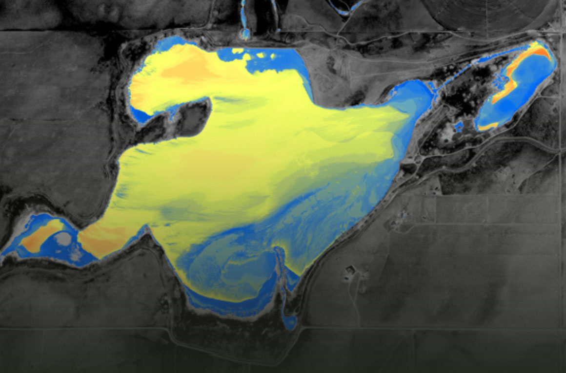
Geospatial Data & Software Solutions for Asset Management, Climate Change & Natural Resources
Learn moreAt Risk from Rising Sea Levels by 2100
Tech-Enabled, Proprietary Solutions to Meet the Growing Demand for Reliable, Efficient & Safe Energy
Learn moreNew Electrical Transmission Capacity by 2035
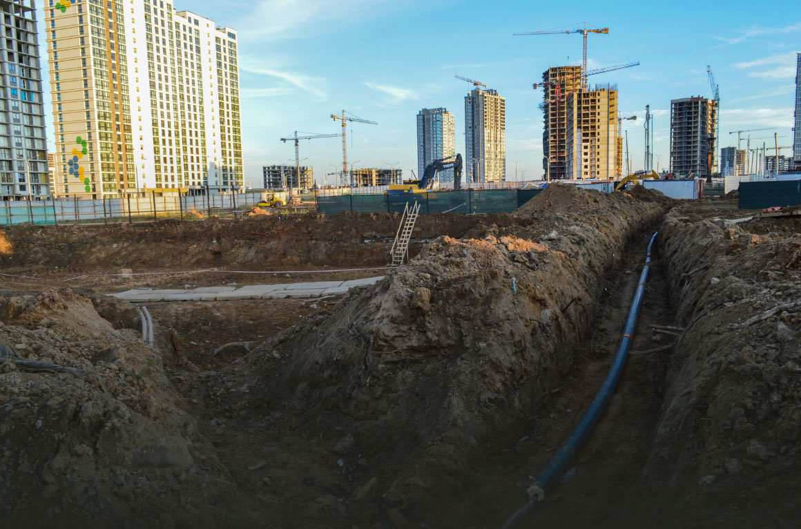
Designing and Implementing Resilient and Sustainable Infrastructure for a Growing Population
Learn moreAnnual Infrastructure Investment to Meet Development & Sustainability Goals
We are the nexus of engineering and technology, pioneering the tech revolution by using innovation to deliver precise and reliable solutions to global challenges.
Technical Innovators
Offices in 11 Countries
in Geospatial Data Services
in International Data Centers
in Utility Underground Design

By James Cottrell, INCE BD. CERT. Walk through any design expo, browse a workplace furniture catalog, or scroll through architectural
Fill out the form below to download the handbook.
"*" indicates required fields
Please fill out the form below. After successful form submission, you will be redirected to the requested file. Thank you.
"*" indicates required fields
Our internal innovation and development team constantly analyzes new technology and develops solutions to meet our client’s challenges. Our Technically Speaking series is one way we share our technical findings with the professional community.Â
Please tell us a little about yourself by filling out the form below, and we’ll share the document with you, thanks!
NV5 Geospatial releases a new predictive modeling platform for vegetation management that uses existing lidar and historical data to identify the relative level of asset risk from trees by quantifying the potential for causing asset damage.Â
Please tell us a little about yourself by filling out the form below, and we’ll share the document with you, thanks!
Our internal innovation and development team constantly analyzes new technology and develops solutions to meet our client’s challenges. Our Technically Speaking series is one way we share our technical findings with the professional community.Â
Please tell us a little about yourself by filling out the form below, and we’ll share the document with you, thanks!